Trail library
Over 200,000 trails, ready before you leave home.
From Patagonia to the Dolomites and the Himalayas, find a marked trail, see how hard it is and take it with you, even where there is no signal.
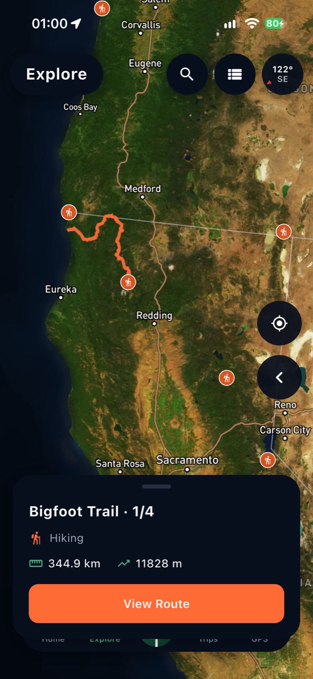
Seven regions
Europe, the United States, Canada, South America, the Himalayas, Asia (Japan, Taiwan, South Korea) and New Zealand, from OpenStreetMap and refreshed every month.
Know the climb
Every trail has its distance, total ascent and descent, an elevation profile and a rough walking time.
3D flyover
Watch the whole route from above before you go, on a real 3D terrain.
Weather and directions
A 7-day forecast at the start of the trail and driving directions to get there.
GPX download
Take any trail to your GPS device or watch as a GPX file.
Offline maps
Download the area to your phone and keep the map, the trail and your position without signal.
How it works
- 1
Pick a region, search a trail by name or move the map.
- 2
Open a trail to check its distance, climb, weather and flyover.
- 3
Save it, download the map and follow it in the Pathsie app.
Questions
Where do the trails come from?
From OpenStreetMap, the open map built by volunteers. Only marked, named routes are included, and the library is refreshed every month.
Can I follow a trail with off-track alerts?
Yes, in the app. Following a route with off-track alerts and a heading-up map is part of Pathsie Pro; browsing, GPX download and the flyover are free.
Can I use it offline?
Yes. Download the area in the app before you go and the map works without signal.
My favourite trail is missing.
Record it with Pathsie or import a GPX and share it with the community, or add it to OpenStreetMap and it will appear after the next monthly refresh.
Find your next trail
Browse the library on pathsie.com or in the app.